
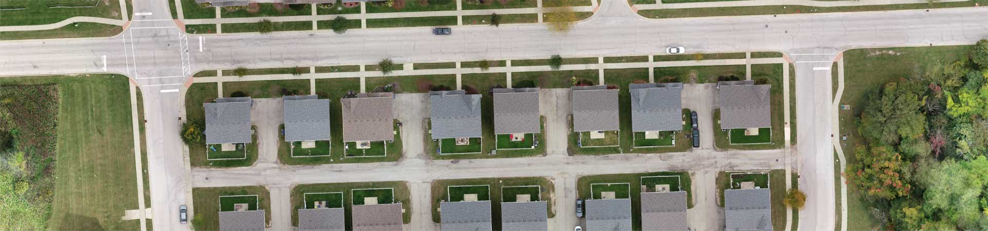
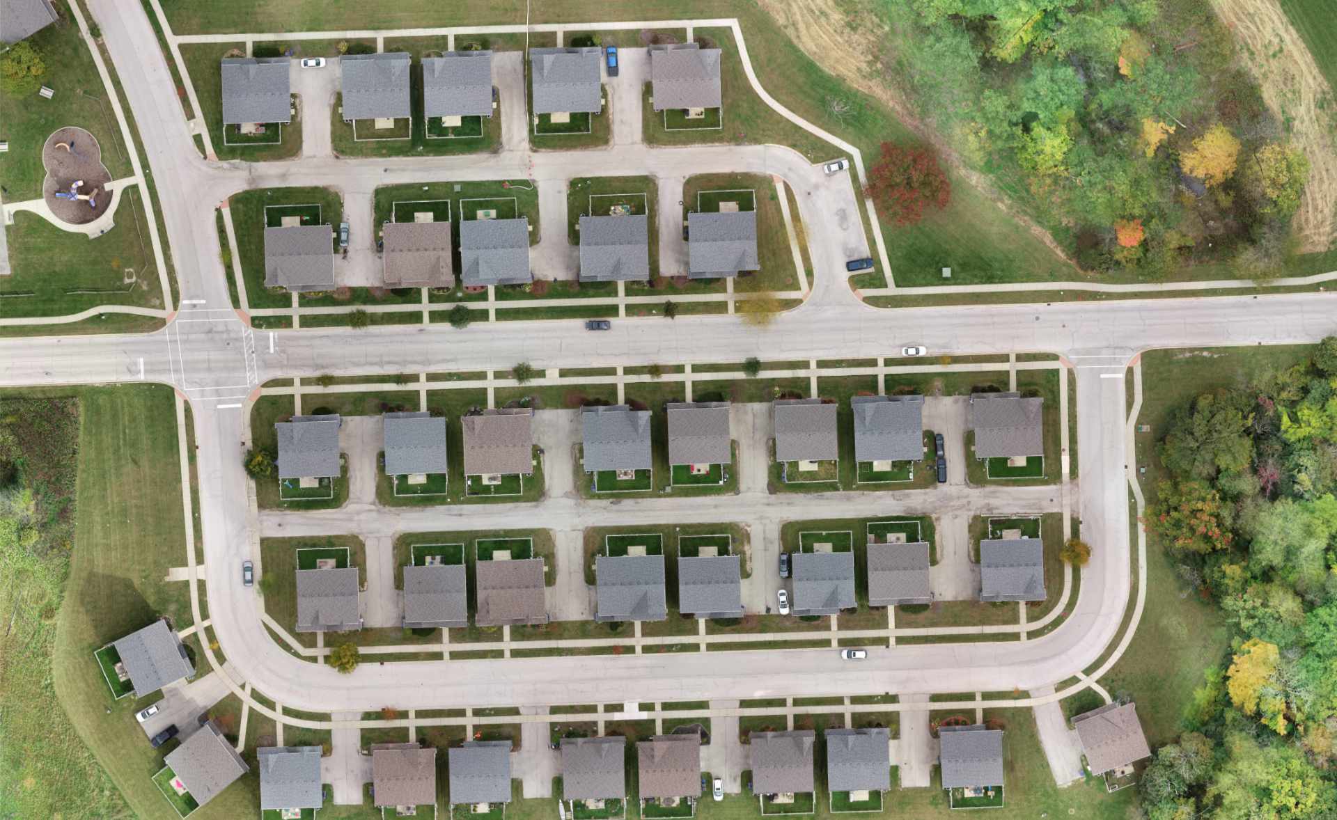
A subdivision is a technical term that means legally dividing one parcel, or tract of land, into two or more lots, or land parcels.
Examples of subdivisions include:
- Subdivision Plats
- Re-Subdivision Plats
- Consolidation Plats
- Planned Unit Development (PUD) Plats
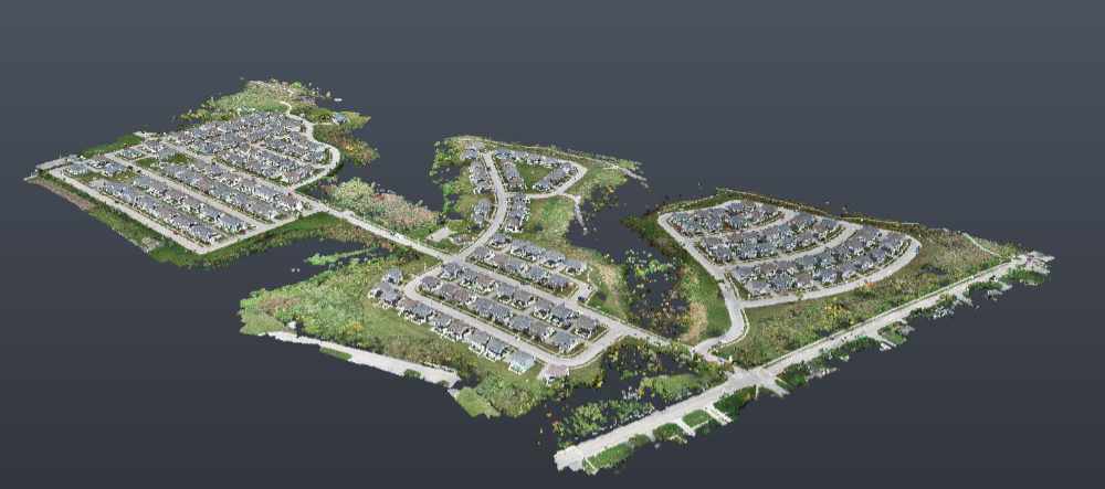
Subdivision plats also are used to combine multiple land parcels into one tract, or lot.
A subdivision survey requires the retracement of the boundary of the parent tract by the subdividing surveyor and becomes an original survey upon the creation of new land parcels, blocks or lots. Monumentation for subdivision surveys is mandatory according to Illinois statutes.
In Illinois, subdivisions are governed by and prepared in accordance with local subdivision control ordinances, governmental regulations and the Illinois Plat Act (765 ILCS 205).
Usually, the process involves the submittal and approval of a preliminary plat, then the submittal and approval of a final plat of subdivision.
The following signatures are generally required for a final plat of subdivision:
- Owner’s – Notary Certificate
- County Clerk – City Treasurer Certificate
- Mortgage – Notary Certificate
- IDOT (if property abuts IDOT road approved)
- Land Surveyor Certificate
- School District Certificate
- Civil Engineer Certificate
- County Recorder Certificate
- City Council Certificate
- Utility Easement Provision Language
- Plan Commission Certificate
- Stormwater and Drainage Easement Provision Language
With almost all municipalities and counties having regulations regarding the division of land, the role of the experienced land surveyor cannot be understated.
To further discuss the land survey service your project needs, contact us at (630) 820-9100 today to speak with a Compass professional.
Download Illinois Plat Act Download Illinois Subdivision Survey Standards